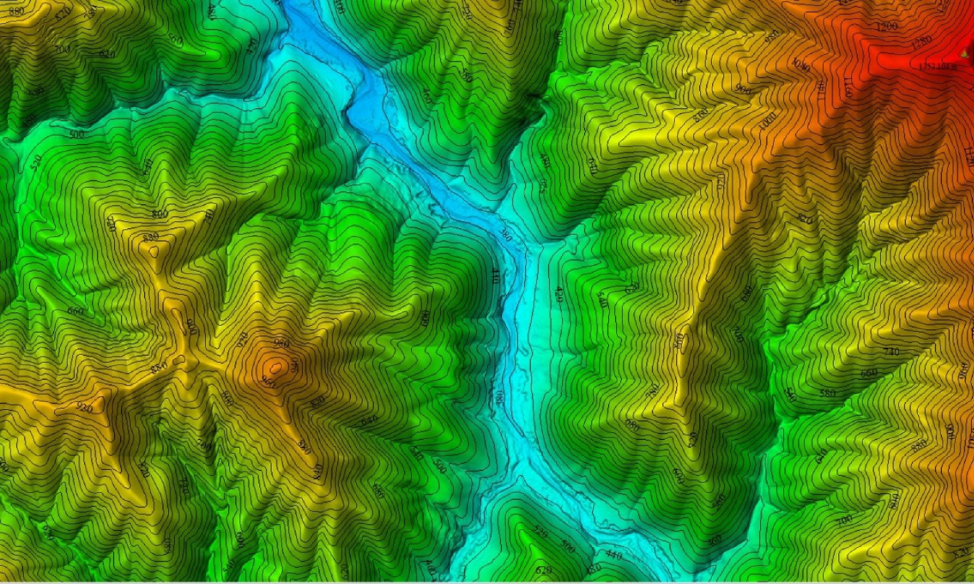
LIDAR, or Light Detection and Ranging technology, is an incredible asset in surveying and mapping. With its advanced capabilities, LIDAR utilizes laser pulses to measure distances, making it possible to create highly accurate 3D representations of terrain. One of its most remarkable features is the ability to survey land through tree canopies, allowing us to obtain detailed topographic data even in densely vegetated areas.
We are thrilled to announce that our company has been approved by Civil Aviation to operate commercially this cutting-edge technology.
For more information on how LIDAR can transform your projects and provide you with precise land surveys, please contact us to explore the details of this exciting development.