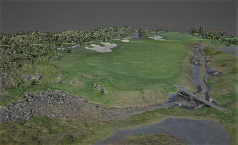
Our drone technology service offers significant advantages to our clients in surveying and mapping. With high-resolution cameras and precise GPS, we provide swift and cost-effective solutions, saving you time and resources.
Our drones capture detailed data, enabling more informed decisions, whether it’s construction oversight, land management, or environmental assessment. We reach remote or inaccessible areas easily, making your projects more efficient and data-driven.